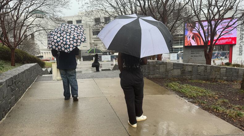
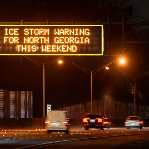
Some proper winter cold is on its way to metro Atlanta after a good soaking and tornado concerns Saturday.
Storms late Friday and Saturday washed away the unseasonable warmth and ushered in much cooler temperatures.
By Sunday, highs will reach only the upper 40s and lows will dip into the freezing range.
That’s a stark contrast to the 70s we’ve enjoyed this past week, and much closer to Atlanta’s typical January temps, when highs average 54 degrees.
Drier air will move in from the northwest overnight and Sunday morning will be gusty. The National Weather Service said strong winds will also bring the cooler temps.
The cold air mass will continue pushing into the area Sunday evening into Monday morning.
In the North Georgia Mountains, lows in the teens are expected.
The high in Atlanta is expected to reach 49 degrees while the low will drop to 27 on Sunday.
Highs should slightly recover as the week goes on, but temperatures will struggle to climb out of the 50s before dropping to the 40s again by Thursday.
Saturday was mild, with highs still clinging to the upper 60s. But those springlike temps gave way to showers.
The severe weather threat ended across North and central Georgia around 1:30 p.m., the Weather Service announced. Rain will continue pushing east through the afternoon as the area dries out by evening.
The stormy weather was part of the same system that led to tornado watches and severe thunderstorm warnings over the Midwest, Channel 2 Action News meteorologist Ashley Kramlich said.
Parts of Fulton, Carroll and Coweta counties were briefly under a tornado warning from 11 to 11:15 a.m. Saturday, according to the Weather Service. A tornado-producing storm had been located over Plant Yates, about 11 miles northwest of Newnan, and was moving at 50 mph.
The Weather Service also warned of various tornado watches in some western Georgia counties that expired shortly before 2 p.m.
By 3 a.m. Saturday, the Weather Service estimated that up to 1.5 inches of rain had been dumped across North Georgia as far south as northern Polk County. Additional rain ranged from 1 to 2 inches and upward of 4 inches in areas within a flood watch.
A flood watch is in effect for parts of metro Atlanta, including Fulton County, and northwest Georgia until Saturday evening.
A Level 1 of 5 risk for excessive rain was in place over most of Georgia, according to the NWS. Some isolated locations saw up to 6 inches of rain, the Weather Service predicted.
Keep Reading
The Latest
Featured


